Most New England states are rather small, their borders set in colonial days when a 20 mile journey was an all-day affair. In fact, if you look at maps of most parts of the Northeast, you'll see the major towns are located at what was once about a day's travel apart, in those pre-automobile times.
Maine is an exception. It's a *big* sucker. Originally part of Massachusetts, Maine eventually got its own identity and government as settlers moved north and east up the coast. The term "down east Maine" originated because Maine sticks farther out into the Atlantic, more easterly, than any other part of the mainland US. To get to northern coastal Maine from Boston, the colonial capitol of the region, you'd travel north and then "down east."
While the towns along coastal Maine more or less follow the colonial day's-distance-apart model, upstate Maine is different. When the border between northern New England and Canada was established, the surveyors looked at watersheds rather than the population. Lands that drained generally north and east to the Atlantic as part of the St Lawrence and St John watersheds became part of Canada. Lands that drained generally south and east to the Atlantic via the Penobscot, Kennebec and Connecticut rivers became part of the United States; "New England."
This partitioning left Maine with a huge swath of mostly uninhabited land far from the coastal settlements. This land eventually was gobbled up by logging companies; but some was later protected from further development and allowed to return to a wild condition. The Allagash Wilderness Waterway is one such protected passage through a vast tract of mostly uninhabited logging land near the Canadian border.
For our trip to northern Maine, we had one guy fly in from Wisconsin, and two guys drive up from Massachusetts. I live in New Hampshire; we all met in southernmost Maine and convoyed northward. It was an all-day drive just to get to the launch point of our trip, including a final 60 mile stretch on private, dirt logging roads.
Those roads were an adventure in itself. I was driving the second car, enveloped in the dust cloud of the car ahead. Falling back didn't help much, as the air was still and the dust cloud was very, very slow to dissipate. At times, especially when driving straight into the setting sun, the dust cloud led to near white-out--- or rather, beige-out--- conditions, requiring extreme caution and slow speeds.
Because the road is private and owned by logging companies, logging trucks have the absolute right of way. They act accordingly, barrelling along at speeds way over the nominal and unenforced 35mph (60kph) limit while carrying truly enormous loads of pulpwood. The trucks yield no ground on the narrow, dusty roads and one-lane wooden(!) bridges, nor are they required to give way. The truck drivers pick their lines through the curves and blast through as near-ballistic objects obeying Newtonian physics; they couldn't much change their path even if they wanted to... and they don't want to. You're on their turf, and it's up to you to get out of the way, even if it means driving off the road into gullies or into the forest. (You can see areas of crushed trees along the road where one vehicle or another made an unexpected exit.)
It didn't come to that for us, but we did have (ahem) more than one exciting moment on the long drive in. It's quite a sight to see a 22-wheel fully loaded logging truck slewing around a blind curve towards you, occupying the center of the 1.5-lane-width road, and generating a vast dust cloud that prevents you from seeing what, if anything, is behind the truck, or even where the road goes. You pull over as far as you can, brake hard (thank goodness of ABS), and feel your adrenal glands swell to the size of watermelons.
Well, OK, not really.
Maybe grapefruit, though.
OK, maybe plums.
(Note to self: Don't write a blog entry just before lunch.)
We arrived at the put-in point in late afternoon and realized we didn't have time to put a vehicle at the take-out point and still get the camp set up for the night, so we opted to find a place to camp and to move the vehicles in the morning. Next task: Find the designated campground.
You have to pay the landowner for the right to access their land and use their logging roads; and also pay a (much smaller) fee to the Maine Department of Conservation, which patrols and maintains the camps along the actual protected waterway itself. For the fees, besides the right of access and use, you get three maps. Alas, we discovered that none of the three maps agreed on the details, and sometimes even used different naming conventions. Plus, the distance scales were only vaguely approximate.
This was a little surprising in these days of Google Earth--- you can get pretty accurate views of just about anywhere on the planet. But some of the maps we got looked quite old, with old-time typography and map symbols. One, from the Maine Department of Conservation, carries a "last revised" date of 1996, and the map itself looks as if it probably was first drawn maybe in the 1950's.
We guessed, only half joking, that the approximate maps were part of a plan to get you to hire a a licensed Maine Guide to see you along your way. Precise maps would put the Guides out of business.
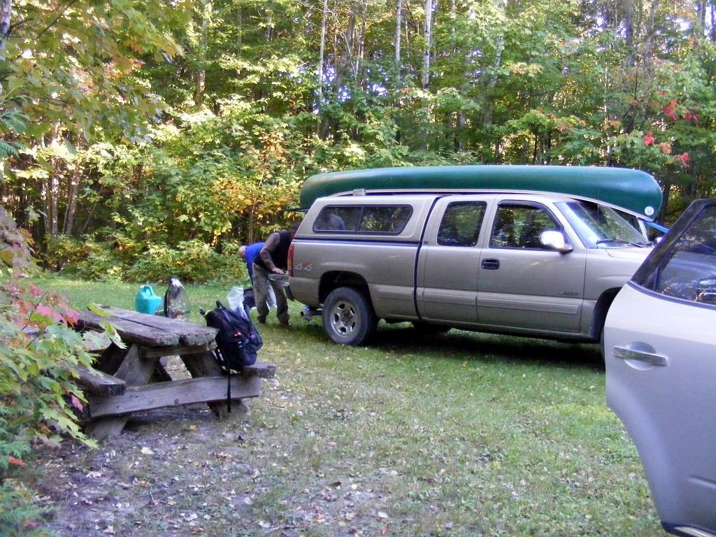
So, it took us a while to find the campsite we were looking for; it turned out to be just two sites off a side logging road. One site was open, so we took it. It was fine---primitive, but that's what we expected--- with an old fire ring and a decaying but usable picnic table. A rickety one-hole pit toilet served both sites. There was no water, but we expected that too; part of my contribution to the trip was to bring two 6-gallon (23L) jugs with potable water. We also had two pumps with microfilters for producing safe drinking water from the local treams and lakes, and could also simply boil raw lake water as needed for washing and such.
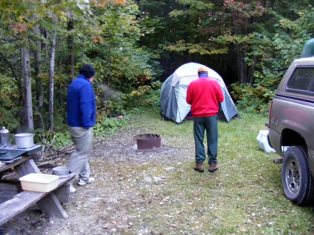
We set up camp:

(click for larger version)

Note the exhaled breath in the above photo--- it was getting cold fast.
(BTW, I'm selecting shots here that don't clearly show my friend's faces because the trip was private, among friends, and this blog is public. If there's any embarassment to be had for the blog, it should reside solely with me.)
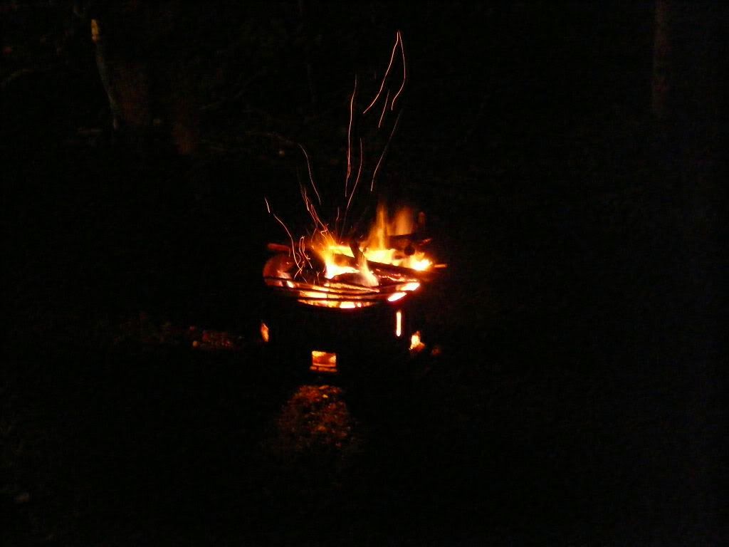
With three hands setting up the tent, I took on the role of wood gatherer and fire starter.

Unghh. Fire hot! Fire good!
Of course, we also partook of a liberal application of ethanol as internal antifreeze. We discovered that three of us preferred Kentucky antifreeze, while one of us preferred Irish antifreeze.
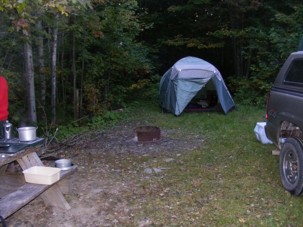
Flash picture of the tent after dinner, when we were ready to call it a night:

It got very cold that night: a hard frost. But we were all pretty toasty in the tent, and woke just after dawn. We broke camp and headed to the put-in point.
And that's where I'll pick up the story tomorrow
Enjoying the story. Looking forward to more
ReplyDeleteColin
My father, career Coast Guard, always said if you sail due east from Boston, you run into the coast of Maine, which is why it's called "Down East". I like your story, too, and has just as much validity.
ReplyDeleteWell, if you sail due east from Boston, you'll actually eventually run into northern Spain--- but your father's nautical joke certainly captures the gist of "down east." ;-)
ReplyDelete(BTW, northermost Portugal is just a hair south of Boston's latitude. It's no coincidence that New Bedford, a Massachusetts city also a hair south of Boston, has a large Portugese population. Thus the trading patterns of yore affect the demographics of today!)
Thanks for sharing with us!
ReplyDeleteErm, uh, back in the late Fifties I learned that Maine was "down" East because it was downwind of most New England ports for sailors.
ReplyDeleteExcept during a Nor'Easter.
I just l-o-v-e living vicariously! Thanks Fred, and please keep it up. I'm glad you made it back.
ReplyDeleteHere's a map of New England:
ReplyDeletehttp://tinyurl.com/292pdw
You have to travel north and east to get to upper (northern) Maine from most parts of New England.
Maine would be downwind from Boston only when the wind is from the SW or SSW. Due east from Boston takes you straight out to sea--- and eventually, Spain.
Anyway, it's all a bit of nitpicking: As we all know, you cahn't get theah from heah anyway. :-)