My Boston apartment is on the 10th floor of my building, which
is actually about 120’ (35-ish meters) above street level. I opted for
elevation so I could help develop a better sense of relative geography and
place: what’s what, where’s where, and what’s in between.
Figuring out the landmarks visible from my bedroom, I
noticed this oddity. See it, to the left of the brownish building? (You can
zoom in, if you view the photo at full res.)
I used the telephoto. See it now, the white tower in the distance?
I mean, what the heck is that? It looks almost Bavarian; or
a misplaced Disney fantasy.
Checking Google maps, I saw it was on a low coastal hill
called Roxbury Heights, a couple miles from my apartment. I decided to check it
out on foot.
Some details along the way:
An odd chimney treatment:
And --- hey, it’s Boston, “… home of the bean and the cod…”
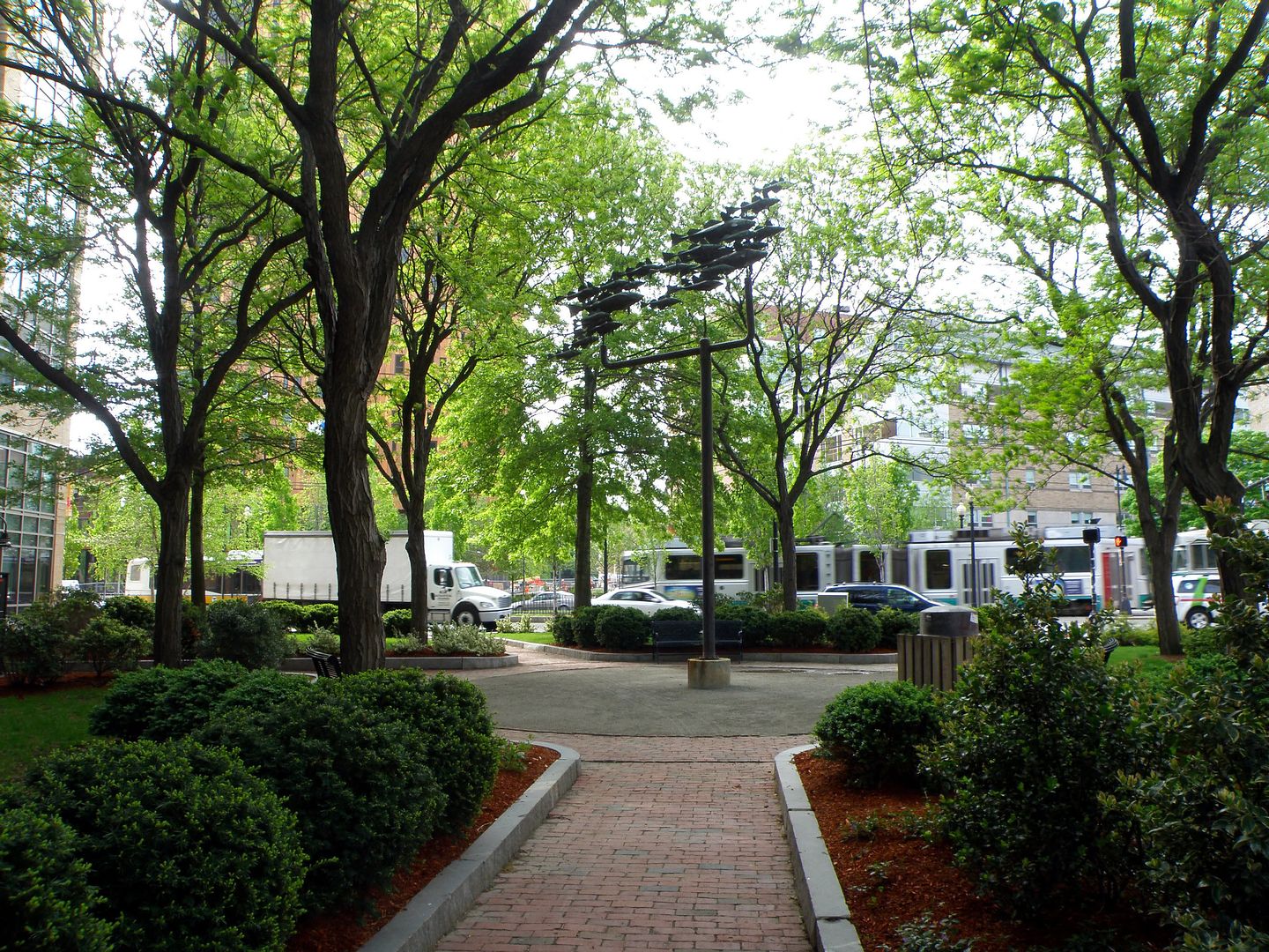
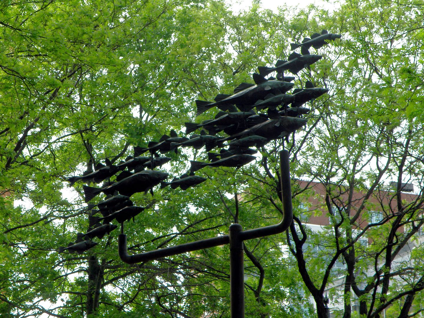
--- a peculiar weathervane:
It’s a giant school of metal codfish:
Zoom in:
This was one of several nice murals I passed:
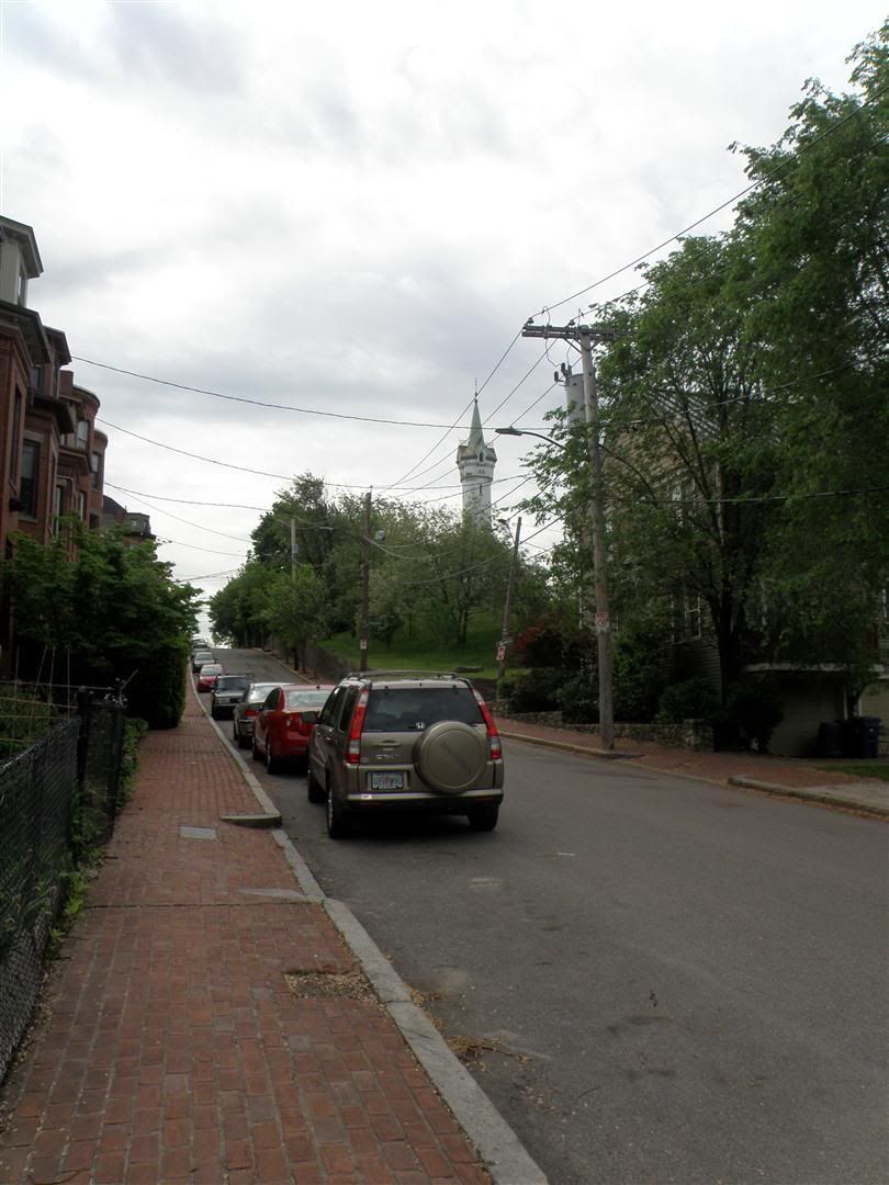
Getting closer to the tower, the streets started to rise as
I entered the Heights:
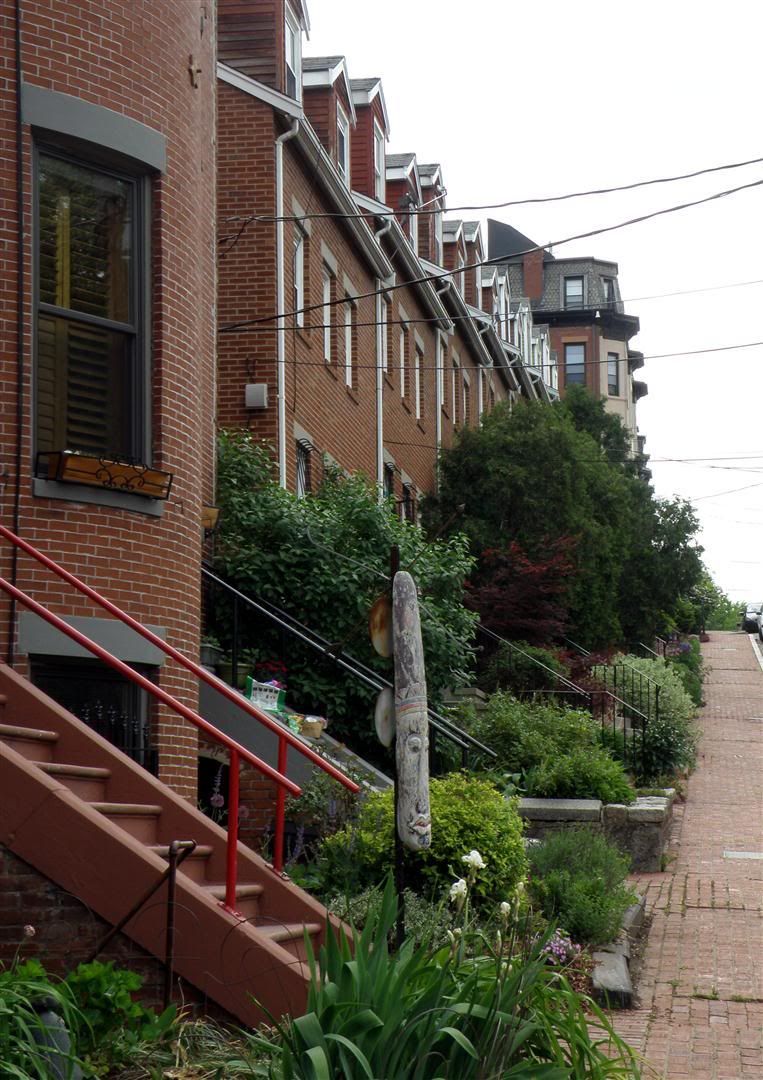
I liked the brick sidewalks. Boston is predominantly a brick
city --- at least, older Boston --- with the blocks fired from the abundant
local reddish and buff clays.
It makes for handsome streetfronts.
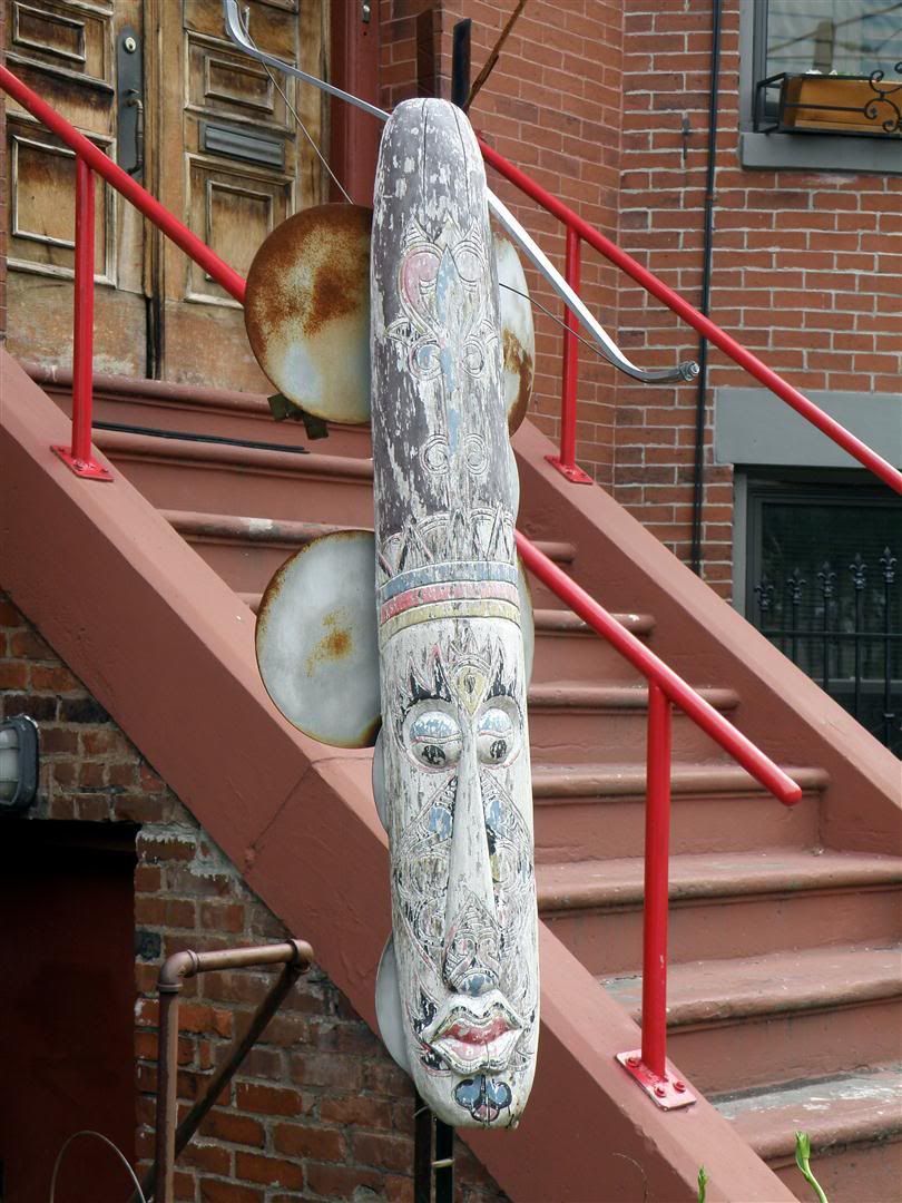
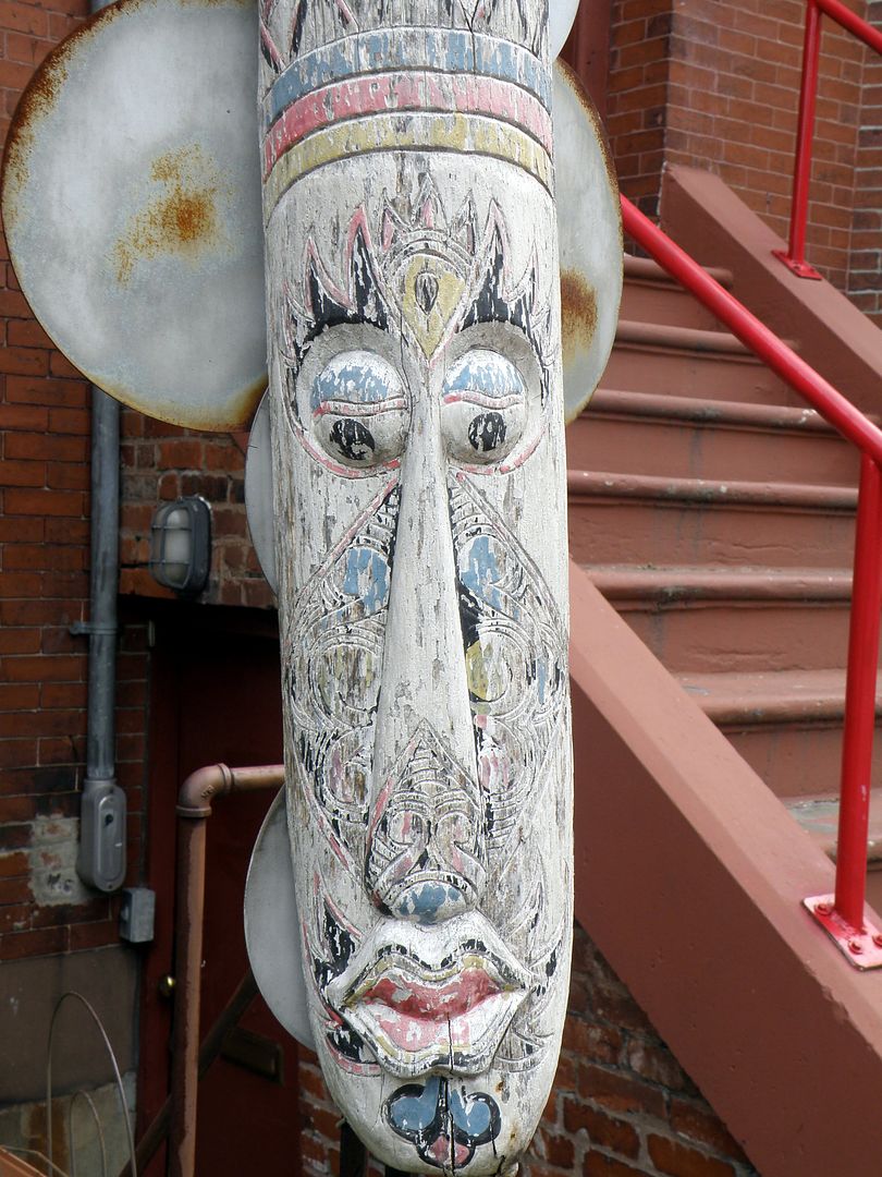
I liked this highly weathered African (?) totem:
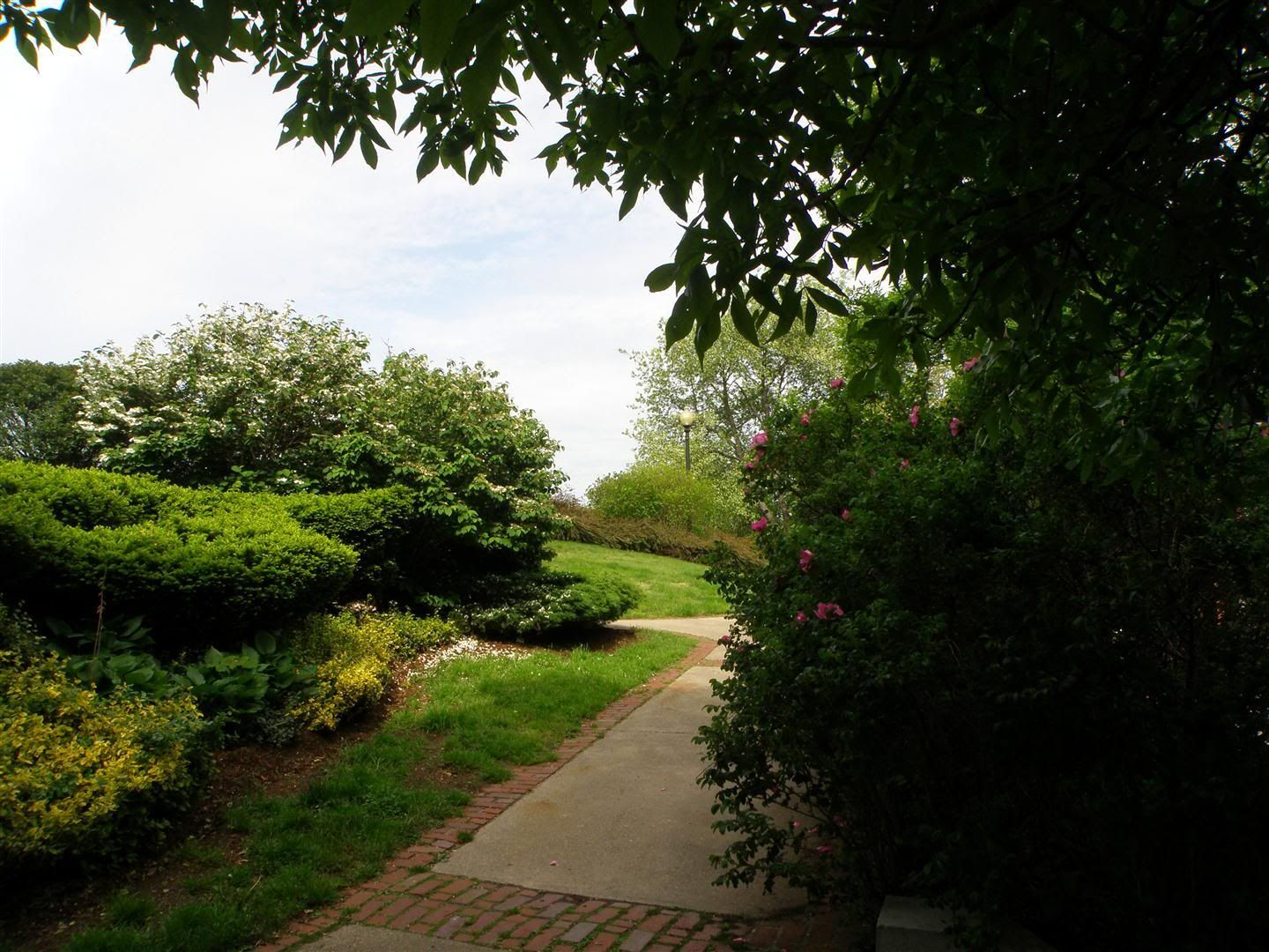
I finally reached the tower, within this small but nicely-planted
park at the top of the hill:
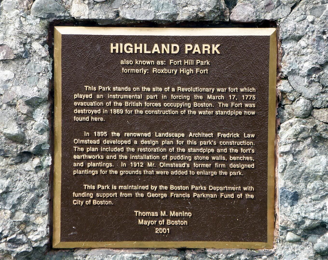
And here’s the explanation:
Wikipedia:
“Known as Fort
Hill, the site once contained earthwork fortifications of the Continental
Army during the Siege of Boston during the American Revolutionary War. At that time
Roxbury
was an independent town connected to Boston by a narrow
neck of land. The hill offered a great vantage of the entire area.”
http://en.wikipedia.org/wiki/Siege_of_Boston
http://en.wikipedia.org/wiki/Roxbury_High_Fort
As part of that year-long Revolutionary War action, General Washington’s
men captured several canon from Fort Ticonderoga in upstate New York and
dragged the heavy canon through the trackless forests of New England to Boston,
installing them on a neighboring hill --- Dorchester heights --- near Roxbury
Heights.
Seeing that the Americans had the high ground and big guns,
the British chose to leave the city by sea (the emplacements on the Heights
prevented escape by land), an event still celebrated in Boston each March 17th
as “Evacuation Day.”
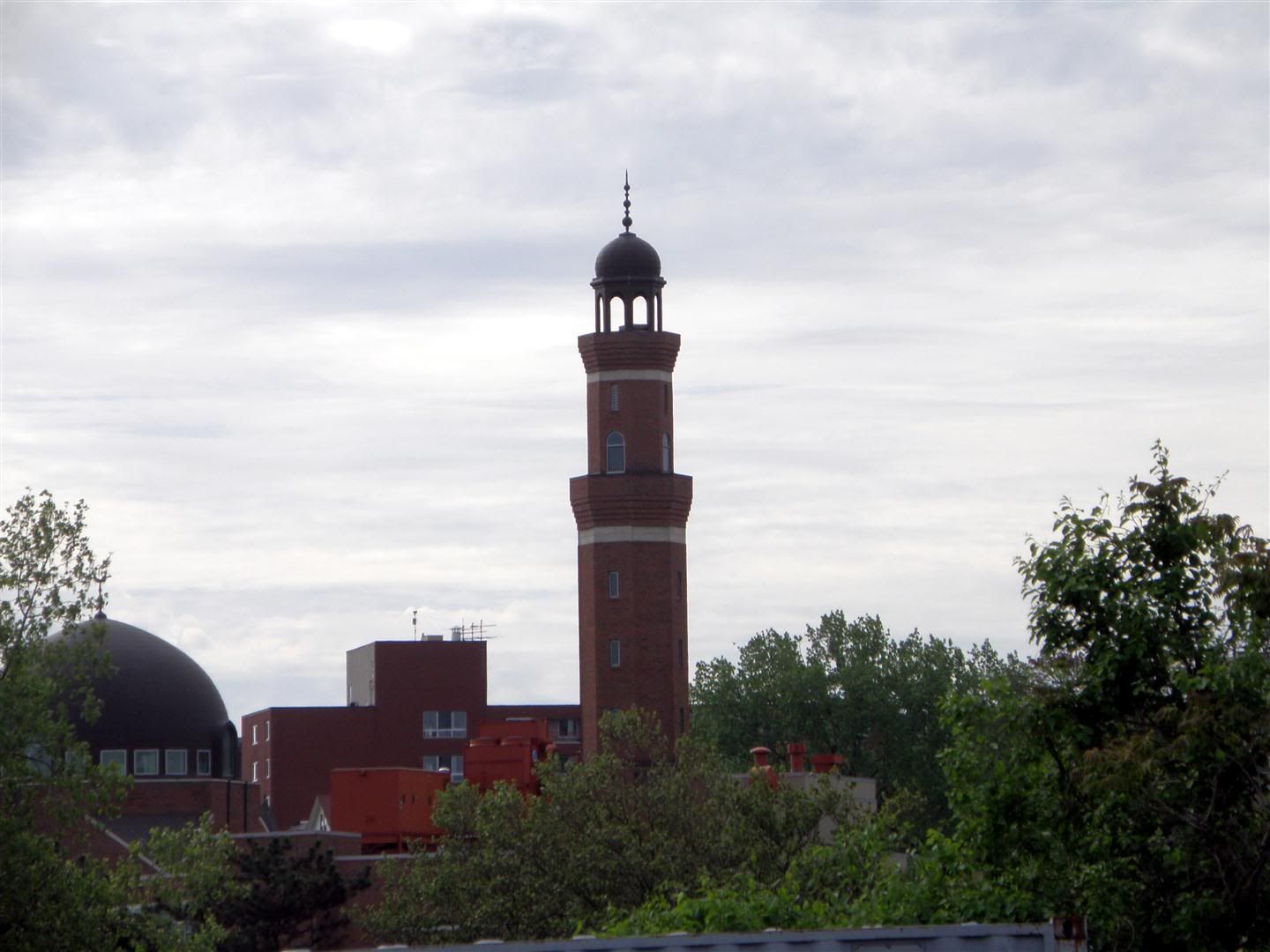
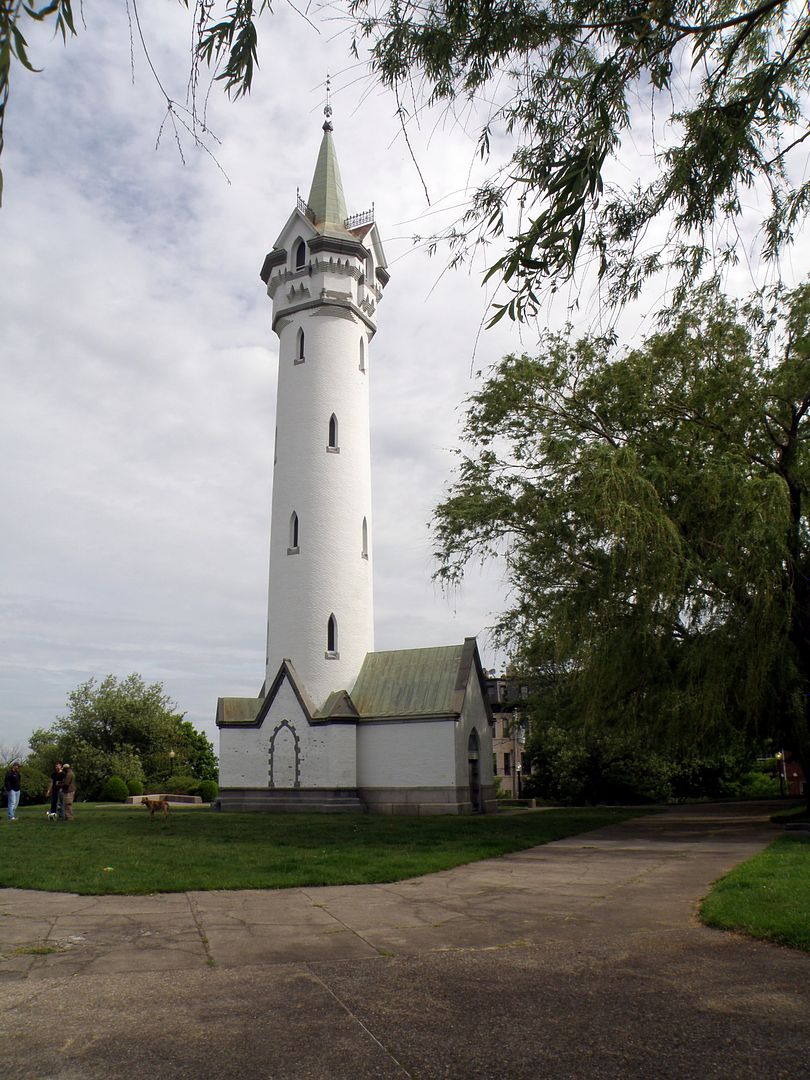
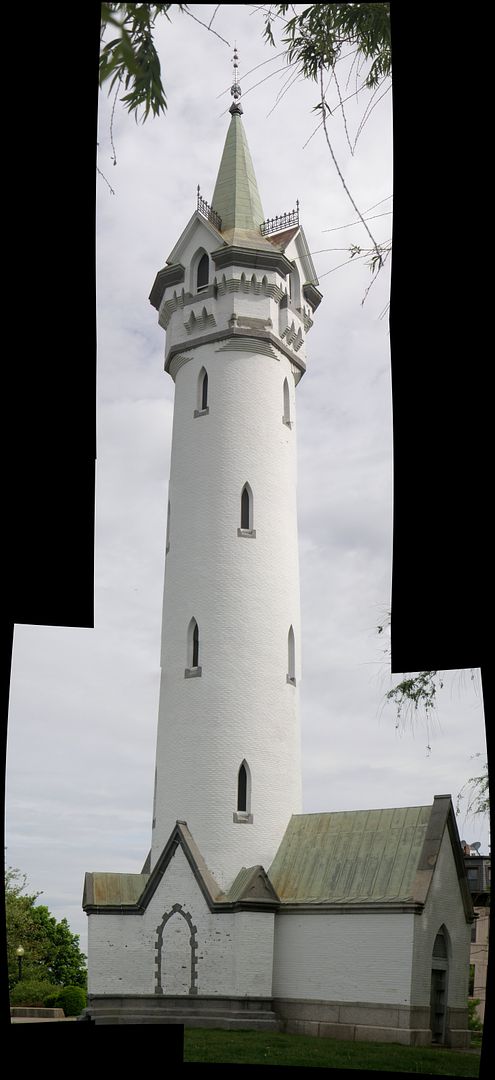
But what about the tower? Here it is, from the hilltop:
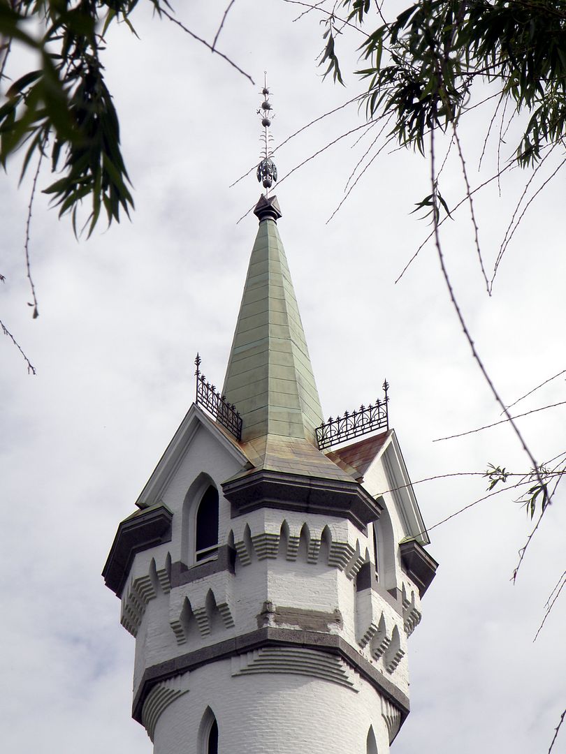
Full-res vertical panorama:
t used to have an observation deck, long since removed,
after the tower, the park, and indeed most of Roxbury fell into neglect and
disrepair.
But times change, and things are much better now.
In 1973, the site was added to the National Register of Historic
Places.
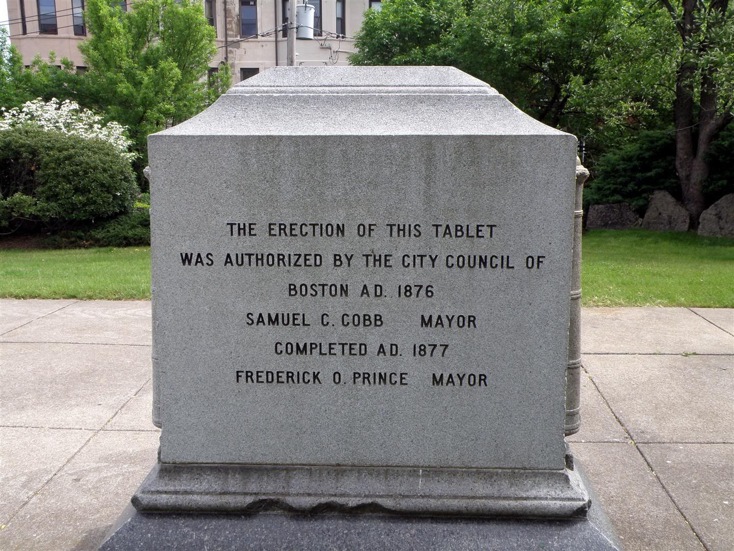
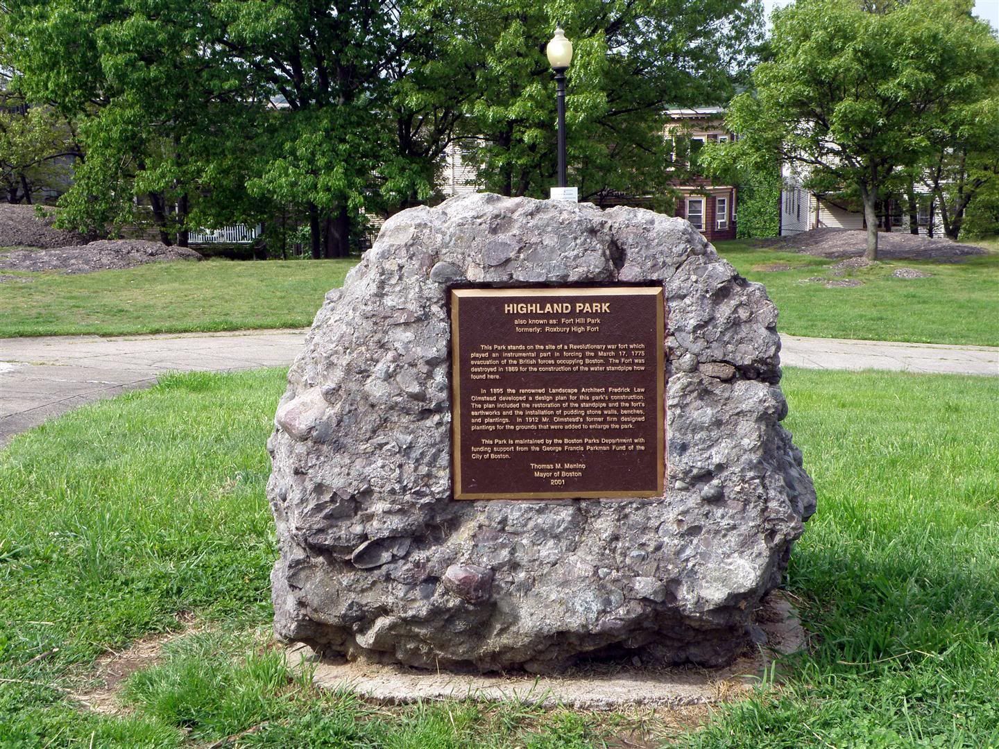
Note this more-recent plaque, from a few years after that:
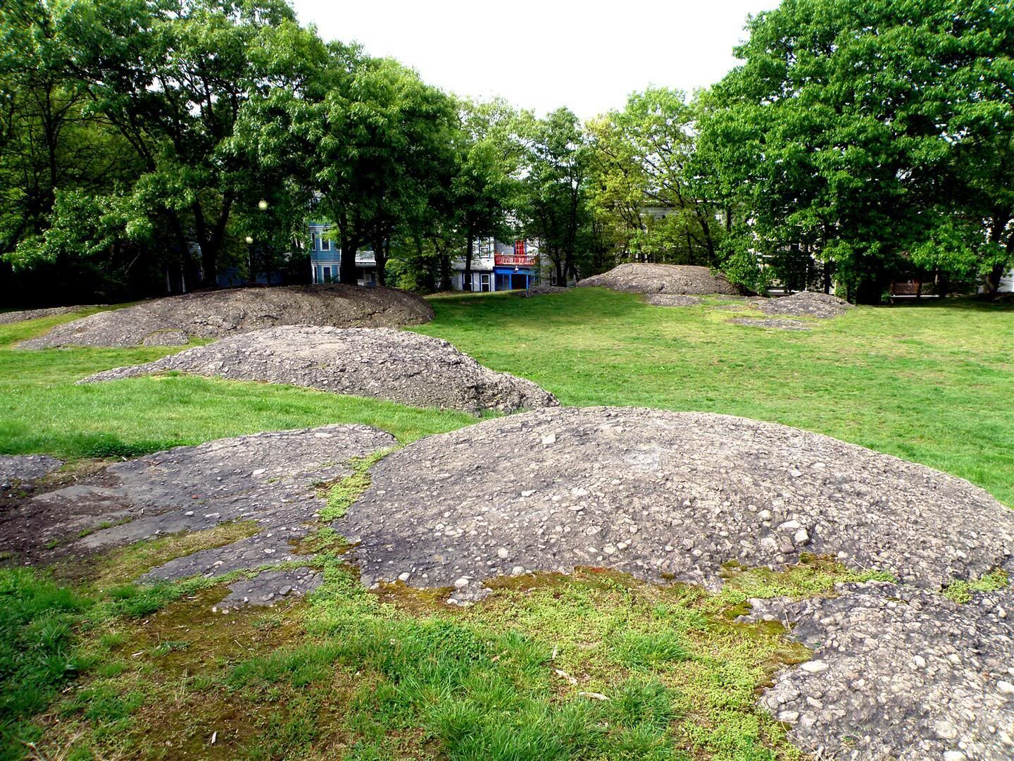
Note the odd conglomerate “puddingstone” of the marker’s
base. That puddingstone is why the hill exists: it resisted the erosion (especially
the glaciers that scraped their way across this land 10K year ago) more than
the softer soils of the surrounding land.
Even though the water tower is a rather silly and prosaic bit of
architectural fluff, I’m glad it was there, so I could see it and seek out the
hill’s geologic and human history.
Thanks for walking along!
---
Photobucket album:







I looked through both versions and found no obvious difference in quality or performance.
ReplyDeleteThis was fun. 50 yrs ago, when I last lived in the area, Roxbury was not a good place to live or walk through. But 50 yrs before that it was lovely and charming. What goes around comes around, right?
ReplyDelete