In this informal “Exploring Boston” series of posts, I’ve focused a lot on the Charles River. Yesterday, with the weather glorious, I decided to focus on where the Charles meets the Atlantic.
This area of Boston has been worked over time and again, most recently as part of the “Big Dig,” which was, for a time, the largest engineering project going on anywhere on Earth. It’s complete now, sort of, and I wanted to see the changes.
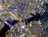
Here’s a gps track of my walk; about 8 miles/13 km, with lots of zig-zagging and more than one retracing of steps, as I tried to find my way from one vantage to another. (Click the thumbnails to embiggify.)
I took the T to Science Park, the stop that services the Boston Museum of Science, and began hoofing to the greener spots that Google maps showed. I started with North Point Park.
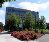
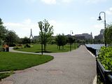
It’s a pleasant and very new park, with great water views. (No thumbnail for the better shots.)
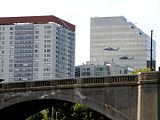
Boston is a medical mecca, and that part of the city contains one of the two main concentrations of area hospitals (the other is near where I live). Life-flights, like this one clattering down to the roof of Massachusetts General Hospital, were common.
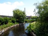
But the park, and its canals (leftovers from when the original Charles River dam was there --- it’s further downstream now) were relatively quiet and peaceful.
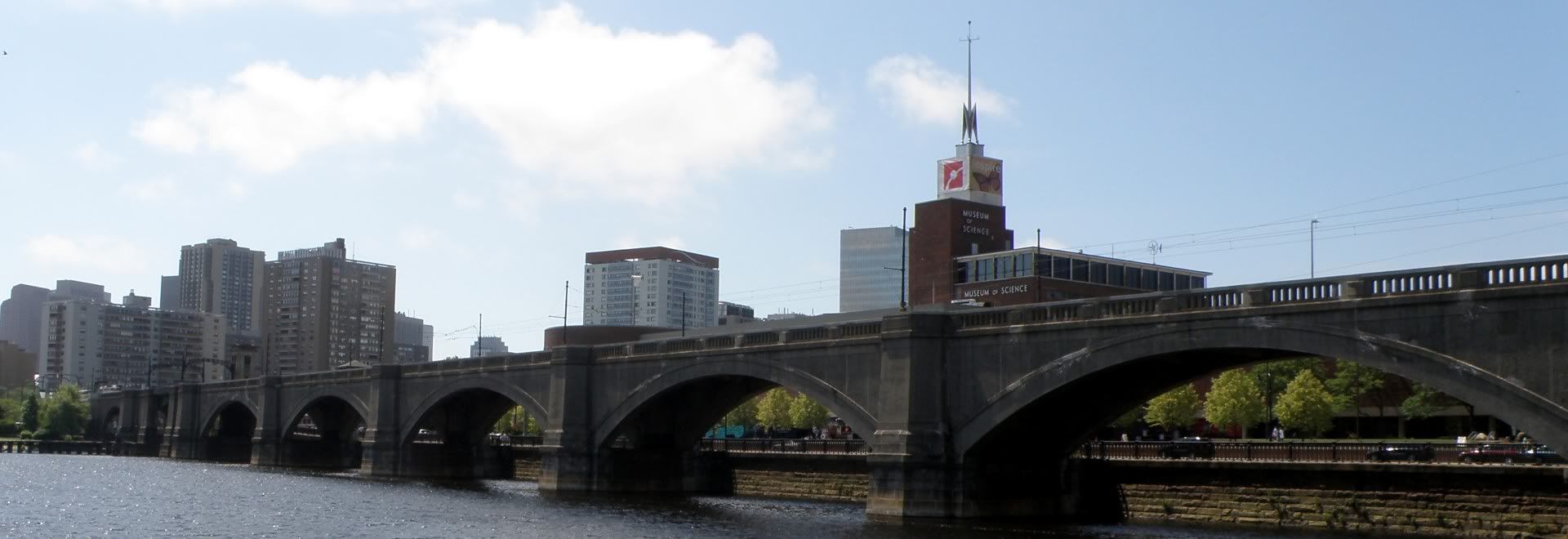
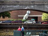
The nearby Science Museum offered some unusual scenery.
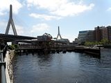
The new cable-stayed Zakim bridge was part of the Big Dig. The older, still-in-service railroad drawbridge in the foreground, serves the commuter rail feeding into North station.
The Duck Tours, which depart from the Science Museum, return to land beneath the Zakim approaches, in the park.
It’s a very pleasant spot.
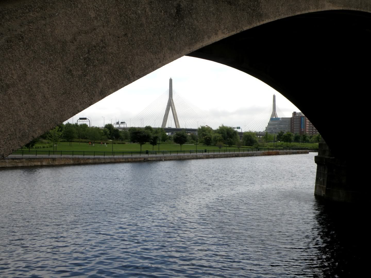
I was trying to reach several small parks on the far side of the Zakim Bridge, but with I93 and the commuter tracks in the way --- “You can’t get theah from heah” --- the shortest route turned out to be back along the way I came, and around the other side. Fortunately, retracing my steps had its visual rewards. This is one of my favorite shots of the day.
The looping walk brought me past TD Garden, and into the edge of the North End, famous for its Italian cuisine … and laid-back attitude.
Paul Revere Park was one of the targets of my walking tour.
It’s another very pleasant space.
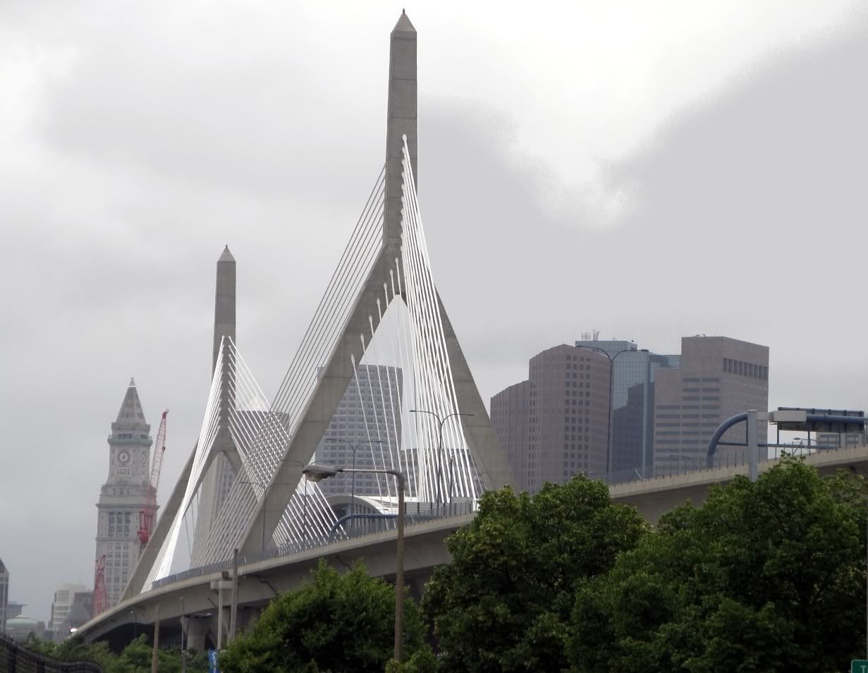
Another favorite shot of the day:
Oddly, the Zakim Bridge’s design is almost entirely ornamental; there’s nothing about the location or the engineering that mandated the use of towers and cables. But it was a smart move to allow for the engineering ebullience: the roadways and bridges are now a visual treat, instead of purely functional slabs and piers.
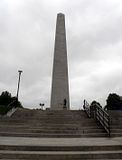
The Zakim’s towers are meant to mimic the shape of this nearby structure: the Bunker Hill Monument, built on Breed’s Hill, in Charlestown.
Yes, the Bunker Hill Monument is actually built one hill over from the actual Bunker Hill, although the distinction is even less clear today than it was when the battle was fought. It’s more or less one promontory.
On a whim, I decided to visit the monument. On thinking about it, I realized I had last been there on a middle-school field trip. Yikes!
So: The Bunker Hill Monument isn’t on Bunker Hill. Boston has generated several such historical oddities and falsehoods and misunderstandings. Another example, Paul Revere never shouted “The British are coming.” Why would he? The colonists all were still British subjects then; so “The British are coming” would have been a meaningless statement.
He probably yelled “The Regulars are coming,” or something similar; meaning the Royal Infantry. But “the British?” Nope.
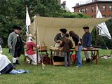
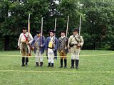
Anyway, back to the tower. Re-enactors “encamp” at the tower’s base.
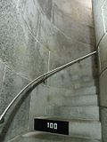
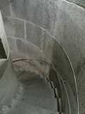
It’s 297 steps to the top. I apologized to my knees in advance, and went up.
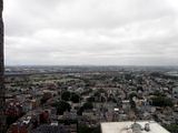
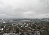
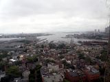
The weather had turned somewhat --- it was still warmish, but with a moisture-laden sea breeze that created a local, heavy overcast. Still, the view from the top was nice, through the battered Plexiglas viewports.
Here’s the view out of Charlestown, towards Boston proper.
To the Northwest, and across the summit of the now-all-but-indistinguishible actual Bunker Hill.
Northeast, across the Mystic River, and the old-school, bolted-iron girders of the Tobin Bridge.
Another gratuitous aside: The “Mystic” in Mystic River isn’t, alas, a reference to anything spiritual or supernatural. Here’s what Wikipedia says:
“Its name derives from the Wampanoag word ‘muhs-uhtuq’, which translates to ‘big river.’ In an Algonquian language, ‘Missi-Tuk’ means ‘a great river whose waters are driven by waves’, alluding to the natural tidal nature of the Mystic. It lies to the north of and flows approximately parallel to the lower portions of the Charles River.”
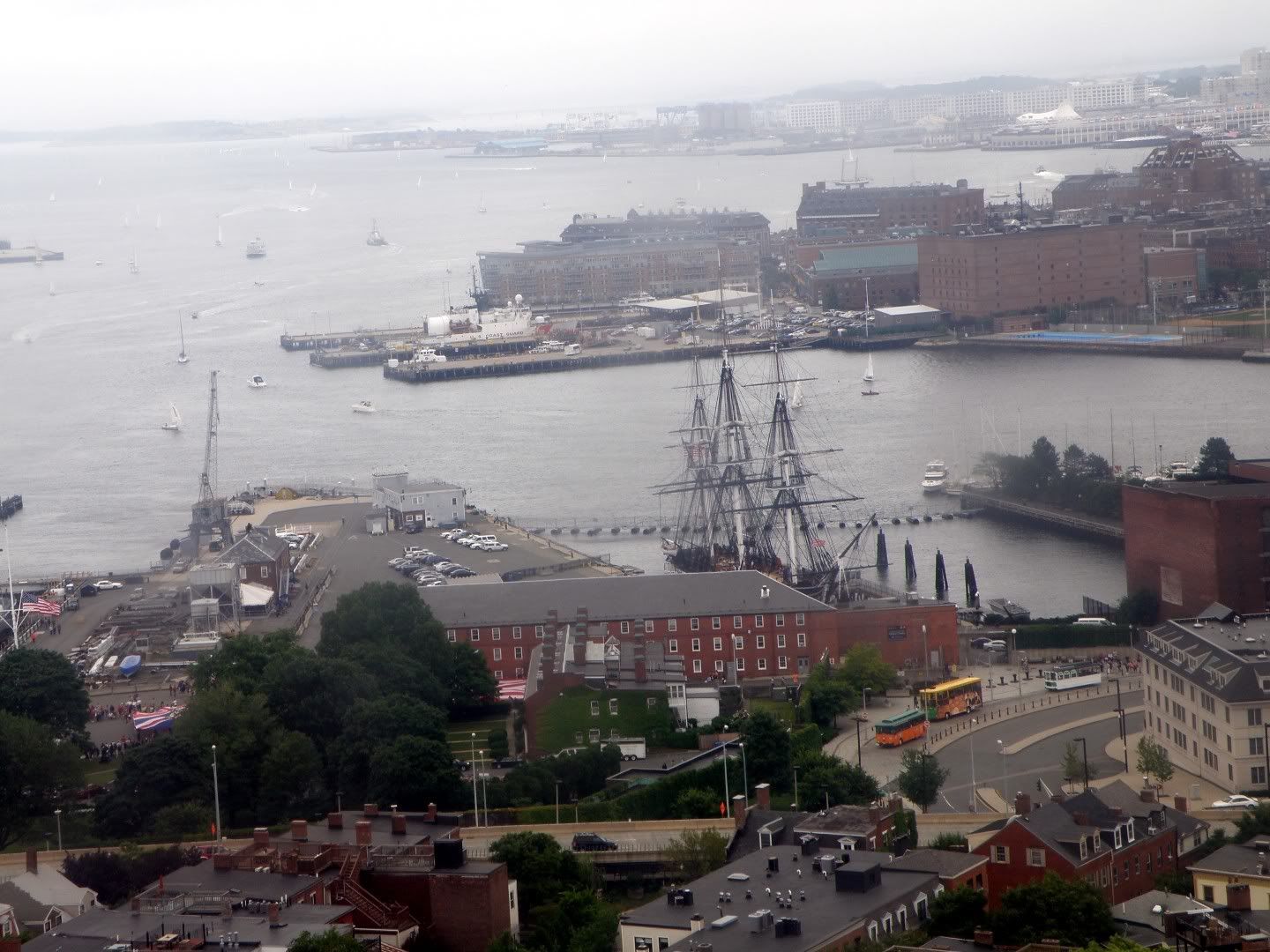
A nice southerly view, showing Boston harbor opening onto the Atlantic.
Zooming in a bit on “Old Ironsides,” the USS Constitution; “the world's oldest commissioned warship afloat.”
It’s a big year for the 44-gun ship, which got its nickname exactly 200 years ago in the war of 1812. There are bicentennial celebrations planned, including a brief sailing under her own power. http://en.wikipedia.org/wiki/USS_Constitution
Of course, it’s also 297 steps down.
It was a fun excursion and a good day. Thanks for coming along!


I, too, was in middle school (then called Jr. High) when I last visited Bunker Hill Monument and Old Ironsides. I thought she was turned once a year under her own power. Does that no longer happen? I'm enjoying your tours and seeing the changes that have occurred since last I visited.
ReplyDeleteYes, it was called "Junior High" for me, too. I figured no one would know what that meant, anymore. :)
ReplyDeleteOh, and yes: they turn the ship every year to even out the weathering, but that's done by tugboat. I believe the last time the ship actually sailed was in 2007, on its 200th birthday.
ReplyDeleteTough old boat!
Amazing photos! Thanks for doing this.
ReplyDeletePeace,
Randy