Previous posts in this series:
Part 1: http://fredlanga.blogspot.com/2010/07/going-to-extremes-alaska-2010.html
Part 2: http://fredlanga.blogspot.com/2010/07/route-planning-alaska-2010.html
Part 3: http://fredlanga.blogspot.com/2010/07/alaska-trip-2010-days-1-4.html
Part 4: http://fredlanga.blogspot.com/2010/07/hd-video-posted-driving-alaskan-highway
Part 5: http://fredlanga.blogspot.com/2010/07/driving-alcan-alaska-2010-con.html
Part 6: http://fredlanga.blogspot.com/2010/07/more-alaska-2010-hd-vids-part-6.html
Part 7: http://fredlanga.blogspot.com/2010/07/driver-view-alaska-highway-yukon-to.html
============
When we left off, I was just entering the Yukon Territories, heading for Anchorage.
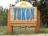
I spent a night in a commercial campground in Watson Lake, just about exactly where this marker is.
The Alaska Highway snakes back and forth across the Yukon/British Columbia border several times, but Watson Lake is on the first relatively deep incursion into the Yukon.
The campground was clean and well-organized --- and your meager $10/night included an unmetered hot shower in a pleasant bath house. I hadn't had a shower since Saskatchewan, so this was a welcome campground luxury.
The campground also advertised free wi-fi, but this was the first of many, many places where I'd learn that having wi-fi, and having usable wi-fi are two different things. But for $10/night, it's silly to complain.
Notable wildlife around the campground: raucous ravens, in some numbers. Their deep, throaty calls echoed everywhere.
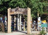
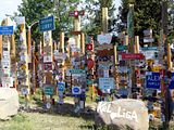
Watson Lake is known for this odd attraction: the SignPost Forest, about 5 acres of 45,000+ signs left there by travelers from all over the world
Wikipedia says, "Tourist attractions in Watson Lake include the Northern Lights Centre and the much-imitated original Signpost Forest. The Signpost Forest was started in 1942 by a homesick U.S. Army G.I. working on the Alaska Highway, who put up a sign with the name of his home town and the distance. Others followed suit and the tradition continues to this day. Today there are more than 45,000 signs of various types depicting locations across the world."
Leaving Watson Lake, the Alcan Highway passes through the hills and low mountains where the northermost Rockies peter out; with abundant lakes and streams everywhere. It's pleasant country, and almost unpopulated.
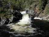
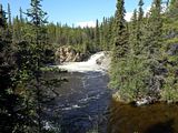
The highways follows the Laird River, part of the huge Mackenzie River drainage that flows to the Arctic Ocean.The Liard is divided unto the Upper Liard and Lower Liard; a set of twin waterfalls mark the division point.
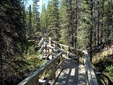
There's a very nice walkway through the ravined forest to the falls, and I took the short hike. It's far enough north there that Spring was still under way, although the calendar said it was almost summer.
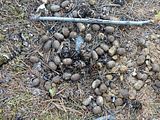
When I first saw this, I though maybe moose...
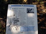
Interpretive signs explained the local ecology:
It was very easy walking, with nice views.
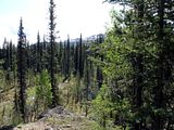
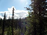
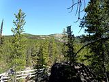
The nearby mountains are low, but still show a treeline; a reminder of just how thin the habitability zone is that far north:
The twin falls were very nice, their white-noise rumble drowning out all other sounds.
Just a few hundred feet up, and the forest can't survive:
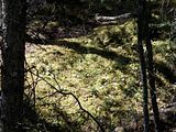
I remember seeing this lush, thick, mosslike lichens on a previous trip to far-northern Quebec. It's "reindeer moss," aka caribou moss (caribou and reindeer are the same thing). The lichen, Cladonia rangiferina is their preferred food. That suggested to me that the droppings I'd seen earlier were caribou, not moose.
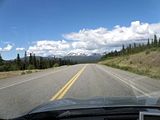
Back on the road: the highway crosses the Cassair Mountains.
The enormous Teslin Lake dominated the landscape for many miles; it's not very wide (looking more like a river than a lake in many places), but it goes on and on and on for 120 km (75 mi). In fact, "Teslin" is apparently a morphed version of the original native name, meaning "long water."
Here, I'm approaching the town of Teslin, with a small piece of the lake in the distance.
After many miles of pleasant scenery, the highway begins to follow the Yukon River, which rises in British Columbia, traverses (and lends its name to) the Yukon Territories, and then bisects Alaska from east to west before emptying into the Bering Sea. It's huge: 3,185 km (1,980 mi) long.
The pleasant town of Whitehorse is right on the Yukon River. I needed to spend a day (two nights) in Whitehorse as I had some online business to conduct, and needed reliable wifi. I stayed in a small hotel downtown.
I'd been on the road --- in the car --- for 6 days now, and it felt good to park the car and get around on foot for a day.
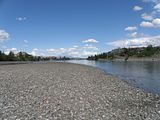
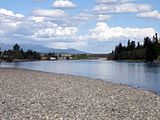
A very nice trail --- part of the Trans-Canada Trail (a cross-continent footpath/hiking trail) --- runs through Whitehorse, along the river. I walked a bit of it, and took these shots from a gravel bar in the middle of the Yukon river.
Whitehorse is a pretty city, and very compact. About 20,000 people live there, which may not sound like much until you realize that that's 3/4 of of all the people living in the Yukon Territories. By local standards, it's a metropolis!
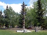
There's a lot of history there. Here's a totem pole in a city park:
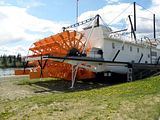
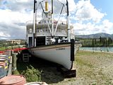
And a beached paddlewheeler nearby:
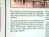
The Yukon river flows fast in Spring, but can be shallow in Summer and Fall; hence the use of flat-bottomed, shallow-draft paddlewheel boats. Paddlewheelers were uses on the Yukon until the 1950s!
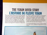
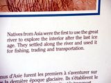
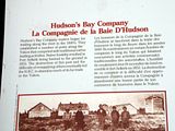
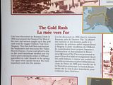
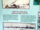
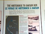
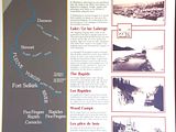
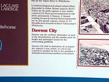
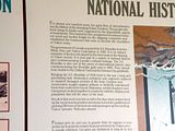
I'll let the Park's interpretive signs tell the next bit; click on the thumbnails and you should be able to read the text:
Refreshed from a day-off from driving, I hit the road again, heading west, towards Alaska.
(more soon!)


No comments:
Post a Comment